





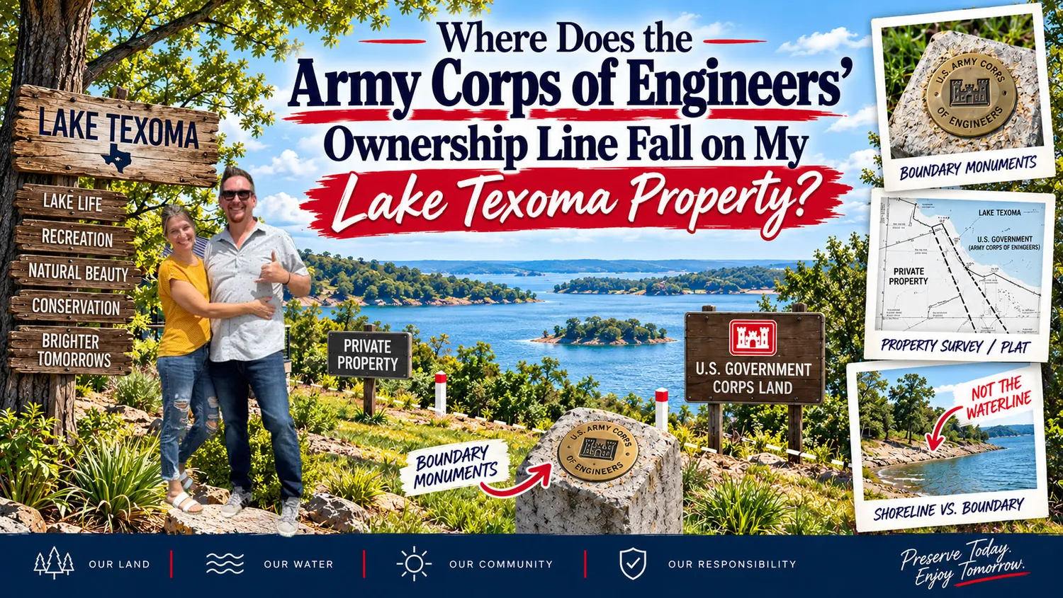
The short answer: the U.S. Army Corps of Engineers (USACE) owns or holds a flood-easement right over all land at Lake Texoma below a specific elevation contour tied to the lake's conservation pool, and the only reliable way to find exactly where that line crosses a given lot is to pull the property's flowage easement deed language, order a current survey, and confirm the elevation and boundary location directly with the USACE Tulsa District real estate office. You cannot determine it from a fence, a neighbor's dock, or an online map alone.

Denison Dam was built by the Corps of Engineers to control flooding on the Red River, and in exchange for building the reservoir, the federal government acquired two different kinds of interest in the land around it. In the lake bed itself and in areas designated for parks and recreation, USACE holds outright fee title, meaning the government owns the land the same way any landowner would. On thousands of additional acres ringing the shoreline, however, the Corps does not own the surface at all. Instead it holds a flowage easement: a permanent legal right to flood that privately owned land whenever lake levels rise, without having to pay the owner each time it happens. The owner keeps the deed and pays property taxes, but cannot build permanent structures, fill, grade, or clear the easement area without Corps authorization.
Because a lake's surface rises and falls with rainfall and dam operations, the Corps does not draw its boundary as a straight line on a plat the way a subdivision does. Instead, the boundary is a contour line: every point on the property sitting at or below a stated elevation in feet above mean sea level falls inside Corps jurisdiction. At Lake Texoma, the seasonal conservation pool — the target normal operating level of the reservoir — sits at approximately 617 feet above mean sea level, moving a few feet during the year for wildlife and water-supply management, with flood-control storage extending the pool much higher, to roughly 640 feet, during major rain events. Because the exact contour used in a given tract's flowage easement can differ slightly from a rounded, commonly cited figure, and because older deeds sometimes reference a legacy datum, buyers should never assume 617 feet is the precise number that applies to their parcel. The only way to know the figure written into a specific easement is to read that easement.

On a gently sloping waterfront lot, the flowage easement contour might sit thirty, sixty, or more feet back from the current shoreline, meaning a meaningful strip of the "backyard" a buyer assumes is private is actually subject to federal flooding rights and use restrictions. On a steep bluff lot, that same contour might run only a few feet from the water's edge. This is precisely why two homes that look identical from the road can have very different amounts of usable, unencumbered yard, and why relying on where a previous owner mowed or built a retaining wall is not a substitute for verifying the actual line.
Buyers and current owners working through this should take a few concrete steps rather than guessing:
1. Pull the legal description and title commitment. Flowage easement language, when it exists on a parcel, is typically referenced in the deed or in a title commitment's exception list. A title company or real estate attorney can flag this quickly.
2. Order a current survey. A licensed surveyor can locate the recorded elevation contour on the ground and show it on a plat relative to the house, dock, and lot lines. This is the single most reliable way to see the line in relation to existing improvements, and it is strongly recommended before closing on any shoreline-adjacent property in Grayson County, TX, Bryan County, OK, or Marshall County, OK.
3. Contact the USACE Tulsa District real estate division. Corps real estate and natural resources staff maintain shoreline management maps and can confirm the government's fee line, the flowage easement elevation applicable to a tract, and whether any additional shoreline use permit will be required for docks, boat ramps, or vegetation clearing.
4. Check for an existing shoreline use permit. If a dock or other water-adjacent structure is already in place, ask whether it has an active Corps permit, since permits do not automatically transfer and unpermitted structures can complicate a sale. For more detail on this specific process, see our guide to Corps of Engineers dock permitting at Texoma.
Skipping this step can lead to unpleasant surprises: a planned addition, shop, or garden that turns out to sit partly on federal easement land; a dock that needs a permit renewal; or a lot whose truly private, buildable area is smaller than it appeared in listing photos. None of this means waterfront ownership at Texoma is risky — thousands of families enjoy Corps-adjacent property every year — it simply means the boundary needs to be confirmed with documents and a survey rather than assumptions. If you are earlier in the process and still evaluating whether lakefront or near-lake property is the right fit, our broader guide on how to buy land near Lake Texoma walks through additional due-diligence steps beyond the flowage easement question.
Brian and Jonelle Allen work with waterfront buyers and sellers across the Texoma region every week and routinely help clients pull flowage easement documentation, coordinate with surveyors, and reach out to USACE real estate staff before an offer is written, not after. If you are considering a Corps-adjacent property, reach out before you fall in love with a yard you may not fully own.


The Corps of Engineers manages Lake Texoma to a seasonal conservation pool of approximately 617 feet above mean sea level, though the exact figure used in an individual property's flowage easement should always be verified against that parcel's own deed language and with USACE, since figures can vary slightly by tract and by season.
Not necessarily. Many shoreline lots are subject to a flowage easement, meaning the government holds flooding rights and use restrictions over the lower portion of the lot even though you hold title to it, and in some areas the Corps owns the land outright in fee rather than by easement.
Request a current survey that plots the recorded elevation contour, review the deed and title commitment for easement language, and contact the USACE Tulsa District real estate office directly to confirm the elevation and boundary applicable to that specific tract.
Generally not without Corps authorization. Structures, fill, grading, and significant vegetation removal within a flowage easement typically require a USACE permit, and unauthorized work can create problems at resale.
No. Fences, mowed lines, and existing docks are not reliable indicators of the Corps' elevation-based boundary and are sometimes built without proper authorization. A survey and direct confirmation from USACE are the only dependable methods.