




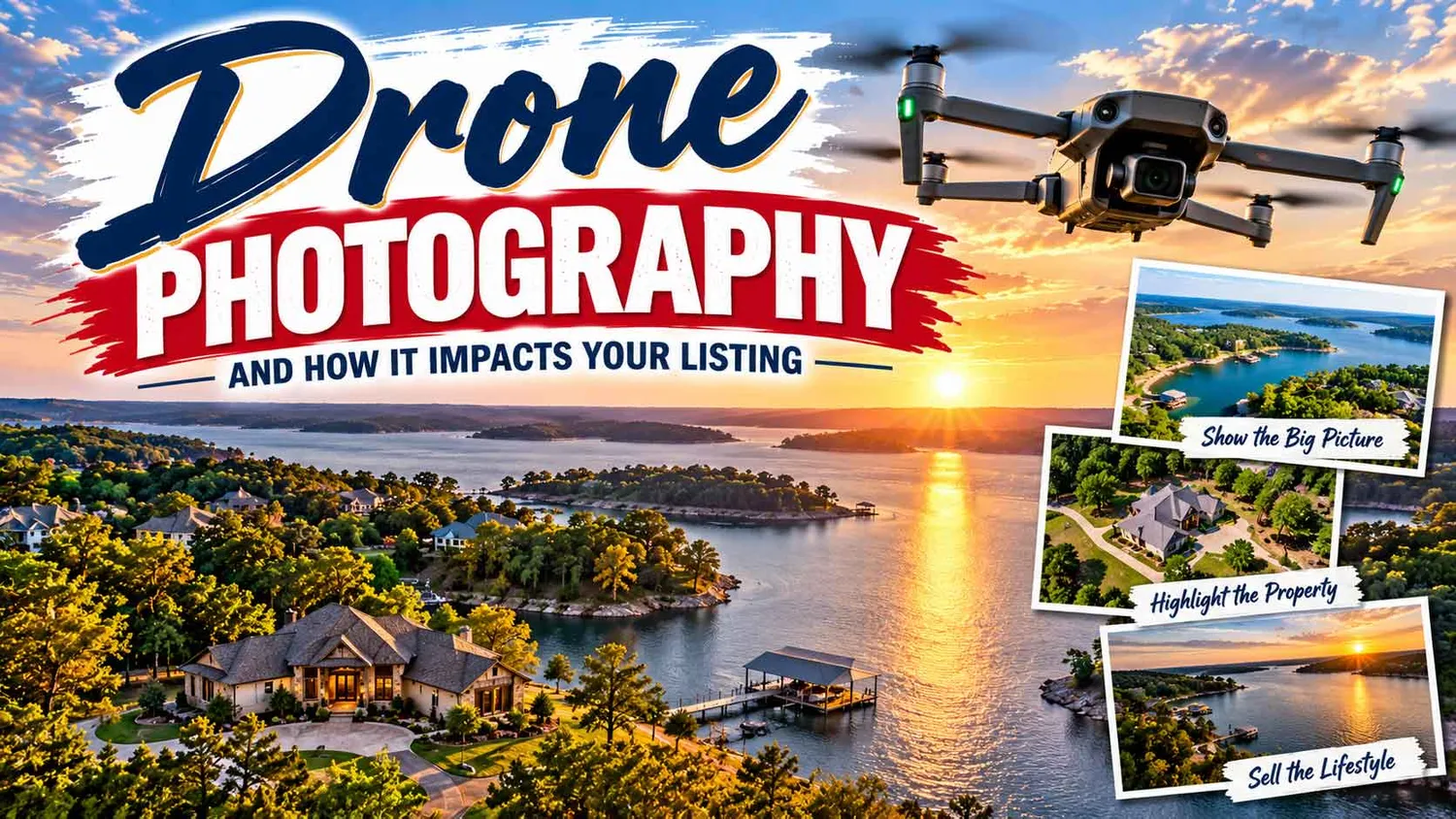
Drone photography impacts a listing's performance by increasing online click-through rates, helping buyers understand a property's lot, water access, and surroundings before they ever schedule a showing, and signaling to buyers that a home is being marketed professionally. For sellers on Lake Texoma, where lot shape, shoreline, and dock placement are often the whole reason a buyer is looking in the first place, aerial images aren't a nice-to-have add-on — they're often the single most persuasive photo in the entire listing gallery.

Real estate drone photography uses a remotely piloted aircraft equipped with a stabilized camera to capture images and video from elevations typically between 50 and 400 feet. Unlike a photographer standing in the yard with a wide-angle lens, a drone can rise above the roofline and show the full footprint of a property: how the house sits on the lot, how far the lawn stretches to the water, where the septic field, driveway, and outbuildings fall relative to property lines, and how the parcel relates to neighboring homes and the surrounding terrain.
Ground-level photography is still essential for showing interior finishes, curb appeal, and the emotional "walk up to the front door" feeling buyers want. Aerial photography answers a different set of questions: How big is the lot, really? How close is the water? Is there room for a pool, a shop, or a second dock? Combining both perspectives gives buyers a complete picture instead of a partial one, which is exactly why the two are used together rather than as substitutes for each other.
Industry marketing research has consistently found that listings including aerial or drone imagery generate more online engagement than listings using ground photography alone. Real estate marketing groups and MLS-photo providers have reported that listings with drone photos and video tend to receive meaningfully higher click-through rates on portal sites, longer average time spent viewing the listing, and higher save/favorite rates compared to comparable listings without aerial imagery. The National Association of REALTORS® has also noted in its annual technology and buyer surveys that drone photography and video are increasingly expected marketing tools, particularly for larger acreage, rural, and waterfront properties where a standard photo simply cannot capture the scope of what's being sold.
The practical effect for sellers is straightforward: more qualified buyers click into the listing, more of them stay on the page long enough to read the details, and more of them arrive at a showing already sold on the setting — which shortens the path to an offer and can help reduce time on market.
No property type benefits from aerial imagery more than lakefront and waterfront homes. A single drone photo can do things a ground shot cannot: show the true shoreline configuration and how much usable waterfrontage the lot has, capture the dock, boat slip, or seawall in context with the water depth and cove, illustrate proximity to open water versus a narrow finger cove, and visually confirm lot boundaries and acreage that a buyer would otherwise have to guess at from a plat map. For a lake like Texoma, where waterfront lots vary widely in shoreline length, water depth, and dock accessibility, an aerial photo can be the difference between a buyer scrolling past a listing and a buyer picking up the phone.

A well-shot waterfront drone package typically includes a straight-down or high-oblique shot showing the full lot and shoreline, a lower-altitude pass showing the dock, boat lift, and water access up close, a wide shot placing the home within the cove or section of the lake, and, when useful, a short video flythrough that gives buyers a sense of the approach by both road and water. Buyers relocating from out of state — a common scenario for buyers working with a local Realtor near Lake Texoma — often rely heavily on these images to narrow their search before ever making the drive.
Anyone operating a drone for a real estate listing — including agents photographing their own listings — is conducting commercial drone operations under FAA rules, which means the pilot is legally required to hold a Remote Pilot Certificate issued under FAA Part 107. Earning that certificate requires passing the FAA's Aeronautical Knowledge Test, being at least 16 years old, registering the aircraft with the FAA, and completing recurrent training every 24 months to keep the certificate current. Part 107 operators must also follow operating rules such as staying below 400 feet, keeping the drone within visual line of sight, avoiding flight over people who aren't part of the operation, and, near many public lakes and lakeside parks, being aware of temporary flight restrictions or airspace near local airports.
For sellers, this matters for two practical reasons. First, an uncertified operator photographing a listing is operating illegally, which can expose the seller and agent to liability if an incident occurs. Second, licensed operators are trained in safe flight practices around water, boat traffic, and neighboring properties — all common considerations on a lake with heavy recreational boating. Sellers and buyers should feel comfortable asking their agent directly whether the person flying the drone on their listing holds a current Part 107 certificate.
When evaluating a listing's marketing — whether you're a seller interviewing agents or a buyer sizing up a property — look for aerial images that are sharp and free of motion blur, taken in good lighting (typically golden hour or midday with clear skies) rather than hazy or overcast conditions, composed to show the full lot and shoreline rather than just a single flattering angle, and paired with video when the property has features — like a long driveway, a private cove, or acreage near Lake Texoma — that benefit from a moving perspective. Photos that are dark, distorted, or clearly shot on a phone rather than a drone are a sign the listing hasn't been given the marketing effort a waterfront property deserves.
Brian and Jonelle Allen use professional, FAA Part 107-licensed aerial photography and video on every eligible listing, because on a lake this size, the water, the dock, and the shoreline are often what sell the home. If you're preparing to list a Lake Texoma property or searching for one, reach out to Brian and Jonelle — they'll make sure your home is shown the way buyers actually search for it: from the water up.


Yes. Marketing data from real estate photography providers and NAR's own technology surveys consistently show that listings with aerial photography and video see higher click-through rates and more time spent on the listing than comparable listings without it, which typically translates into more qualified showings and, often, a shorter time on market.
Only if the agent (or the photographer they hire) holds an FAA Remote Pilot Certificate under Part 107. Any drone flight conducted for a business purpose, including photographing a listing, is legally considered commercial operation and requires this certification, along with FAA drone registration.
Aerial photos are the only way to clearly show shoreline length, dock placement, water depth context, and how a lot relates to the cove or open water — details that are nearly impossible to convey with ground-level photos alone but are often the deciding factor for waterfront buyers.
Ask whether the person operating the drone holds a current FAA Part 107 certificate, whether the package includes both photos and video, and whether the shots will specifically capture the shoreline, dock, and lot boundaries rather than just a single aerial overview.
Yes. Overcast skies, midday glare on the water, or high winds can all reduce image quality. Experienced operators typically schedule waterfront shoots for golden hour or calm, clear conditions to make the water, shoreline, and dock look their best.
Guides & Resources
For Buyers
Buying a Home in TexomaFirst-Time Home Buyer ProgramsNative American Homebuyer ProgramsThe Closing ProcessNew Construction GuideBuying Land & AcreageLenders & Local Pros